
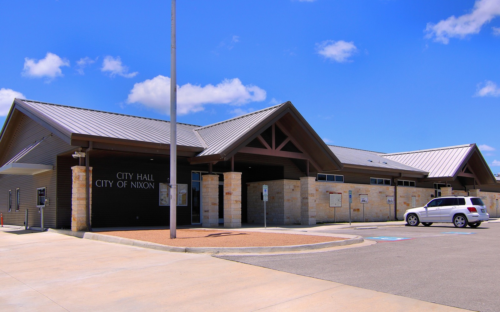
Sell Mineral Rights in Nixon, TX
Gonzales County helped kick off the Eagle Ford boom, and Nixon sits close enough to that early activity that a lot of local families are still sorting out what their mineral interest is actually worth.
Gonzales County was one of the first places operators proved up the Eagle Ford Shale as a real horizontal oil play, and the county has stayed active through multiple drilling cycles since. Land around Nixon sits toward the productive oil window of the play, which historically has drawn steadier operator interest than the drier gas window further north.
If your family holds a mineral interest tied to land near Nixon, whether from an old ranch that's been split among heirs or a more recent purchase, we'll check current activity against Gonzales County records before we quote you a number.
Why Gonzales County activity has held up
Being positioned in the Eagle Ford's oil window rather than the gassier stretch to the north has generally kept Gonzales County more resilient through price swings, since crude economics have often supported continued development even when gas prices lag. That's not a guarantee for any specific tract, but it's part of why this county has stayed on operators' radar longer than some others in the play.
What we check on a Nixon-area tract
We pull deed and lease records from the Gonzales County courthouse, check whether your acreage sits inside an active or recently active unit, and review any royalty statements you can send along. That's how we get to a number that reflects your actual interest instead of a flat county-wide guess.
Cash today versus a shrinking royalty
Eagle Ford wells decline fast, often losing a large share of their initial output within the first couple of years. If your interest is tied to a well that's several years into production, the check you're getting now is likely smaller than what it started at and probably keeps shrinking. Selling locks in a number today instead of riding that curve down further.
Open the county file first
The review should identify the county clerk record, legal description, deed chain, reservations, lease, assignments, probate or trust records, unit documents, division orders, payor records, and recent statements that belong to the same tract. City names and surface addresses are useful search clues, but the recorded description controls the mineral schedule.
Match local drilling to the subject tract
Permits, completions, operator acreage, nearby laterals, unit boundaries, field rules, product mix, and basin activity in the surrounding county can supply context. The review should keep offset activity separate from wells and units that actually include the owner's acreage, because a nearby rig is not proof of present ownership or future development.
Compare the complete written offer
A local offer should be read beside the net mineral acres, paid decimal, producing status, depths, products, effective date, included receivables, title standard, curative obligations, permitted deductions, price adjustments, deed language, reservations, payment timing, and closing deadline. A headline price without that schedule is incomplete.
Route Texas-specific questions
Heirship, community property, probate, trust authority, dormant interests, executive rights, pooling, allocation, depth severances, lease interpretation, title defects, tax treatment, and recording procedure can change the sale route for a county tract. Those issues belong with qualified legal, tax, title, engineering, or appraisal professionals before the owner relies on a closing number.
Questions owners ask before selling
Put the Texas Property File in Front of the Review Desk
Send the county, interest type, producing status, and the records already available.